
 Image 1 of 4
 Image 2 of 4
 Image 3 of 4
 Image 4 of 4
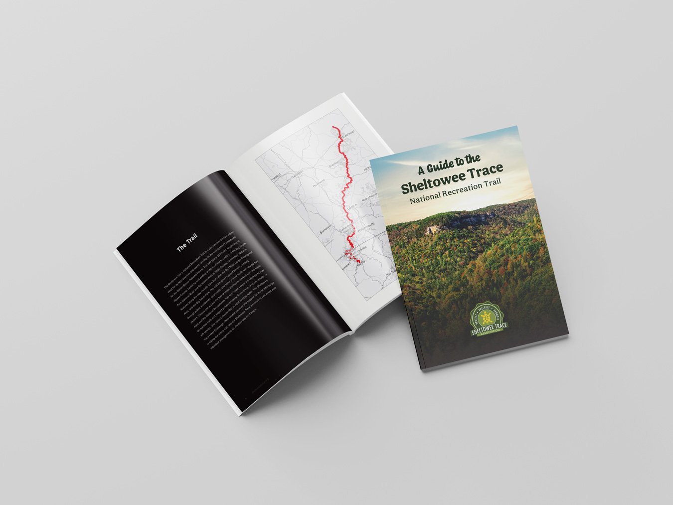
Updated in 2020, the STNRT map sets are divided into two sections. The North half covers Northern Terminus to McKee. The South half covers McKee to Southern Terminus. Save when you buy them together.
Maps created by OutraGIS Mapping
Ten-panel 27″ x 19″ full-color topographic maps with forest canopy cover
1:31,680 scale, 1 inch to a half-mile
Map of official trails Big South Fork National River and Recreation Area and of the Daniel Boone National Forest.
Includes 50-ft elevation contours, park and forest boundaries, scenic areas, backcountry camps, and front country camp and recreation facilities.
Shows the entire Sheltowee Trace.
Mile markers for the Sheltowee Trace. Mileage begins at the Northern Terminus.
Official connecting trails are shown with mileage
Thick 100lb paper that carries in 4-mil zipper poly bag for durable use
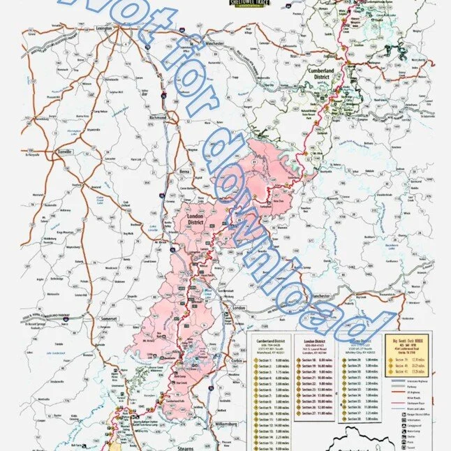